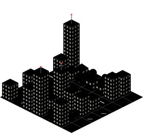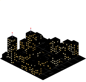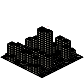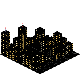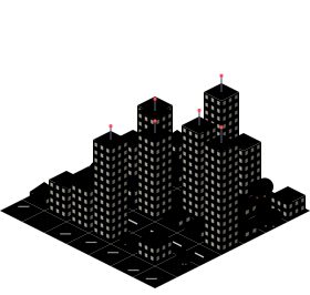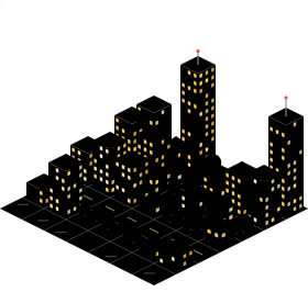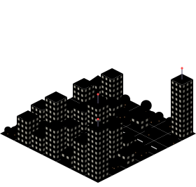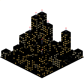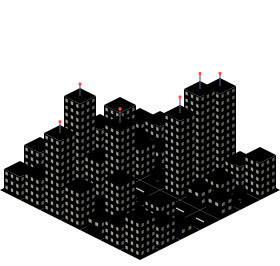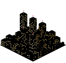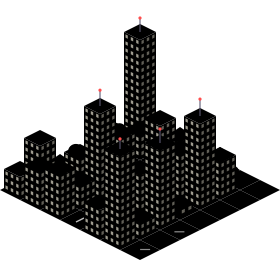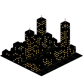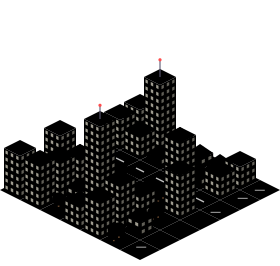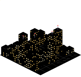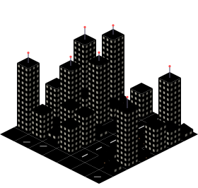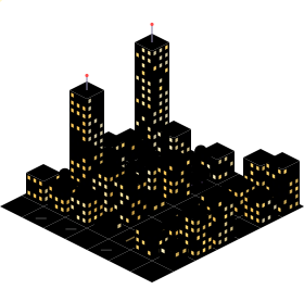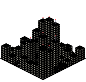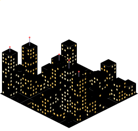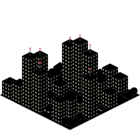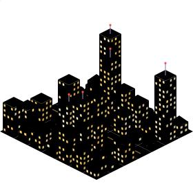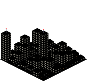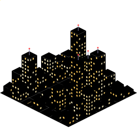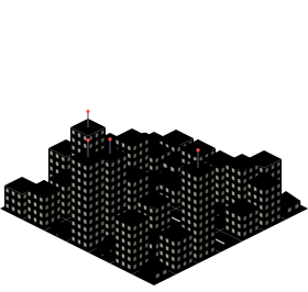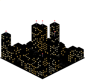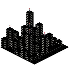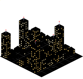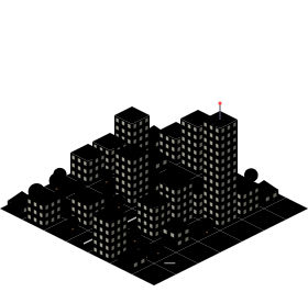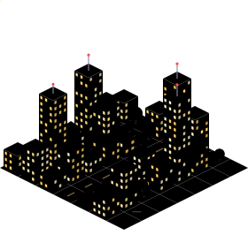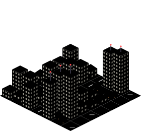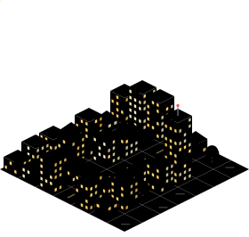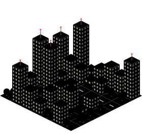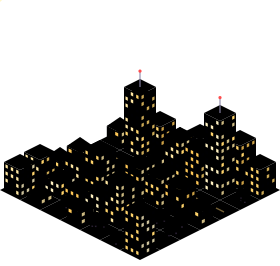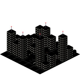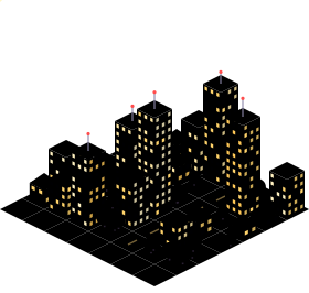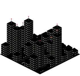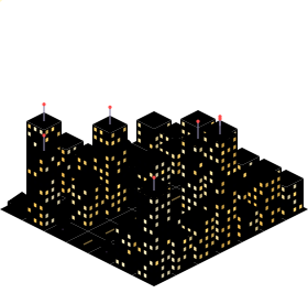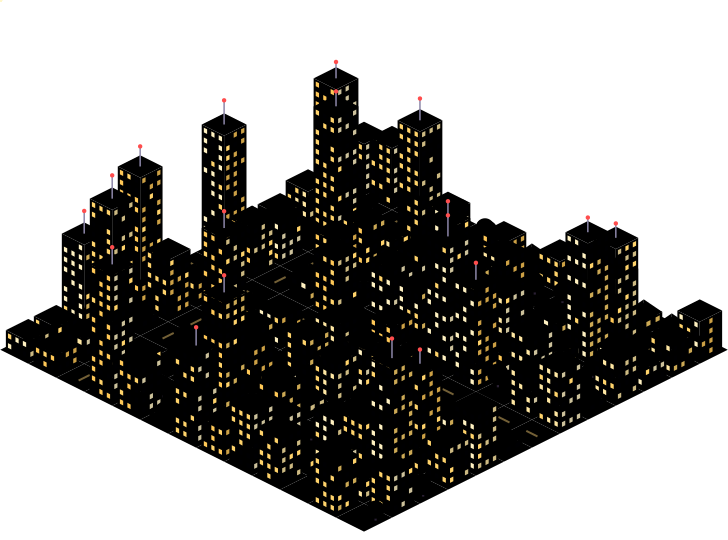
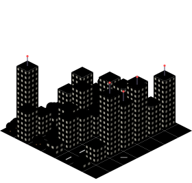
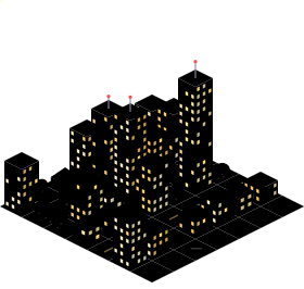
010 (opens the map in a new tab)
3D010.jjpcodes.com
Since Isometric NYC, makers around the world have been rebuilding their hometowns as giant SimCity-style maps. We collect every one of them.
Taller tower = more maps New this month
26 maps · newest first
3D010.jjpcodes.com
AIhypeseoul.xyz
AIisometricistanbul.com
AIisometric-malaga.pages.dev
Open databedirhanyildirim.com
AItinygyn.com
AItinyrj.com
AItinysthlm.com
AItiny.london
AIearthtopixels.com
AIjustinchavez.github.io
AIenrique-am.github.io
AIsf.isopolis.city
AIsheets.works
AIisometric.nyc
AIabidjan.opriel.com
AIblrmini.vercel.app
AIcaba.nicolaspoore.com
Open datacdmxisometrico.com
AIneuquen.melendez.com.ar
AIpixelberlin.com
AItinydetroit.com
AItinytashkent.uz
AItinyvancouver.com
3Dtinywarsaw.app
No map for that city yet.
Know one, or building one? Submit it →
Learn how the existing maps were made — AI-drawn tiles, OpenStreetMap rendering or 3D dioramas — and get listed the day you ship.
An isometric city map shows a real city from a fixed 30° bird’s-eye angle with no perspective, so buildings keep their size from front to back — the look of classic games like SimCity 2000. The current wave of sites renders entire cities this way as one giant zoomable picture.
Isometric NYC by Andy Coenen, launched in January 2026, rendered New York City as SimCity-style pixel art using AI image models. Its write-up inspired developers around the world to build their own cities.
Most are “AI-drawn”: an image model converts satellite or 3D-tile imagery into pixel-art tiles that are stitched together. Others are rendered directly from open data like OpenStreetMap, or built as real-time 3D dioramas. See our guide for details.
Use the Submit a map page. Send the link, the city and who made it; we review every submission by hand and usually add it within a few days.