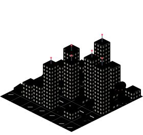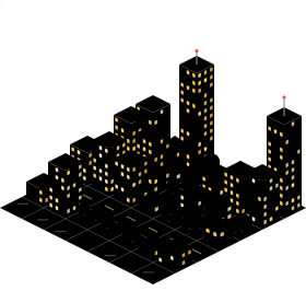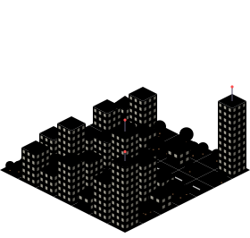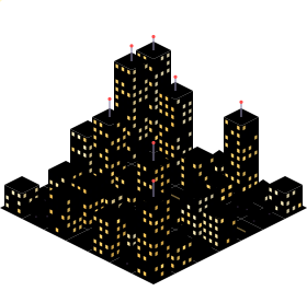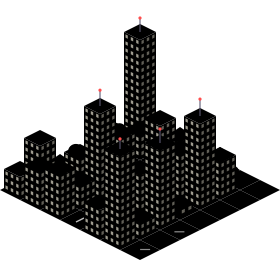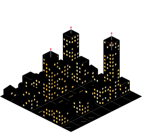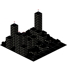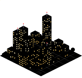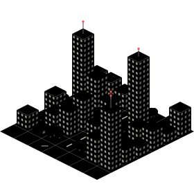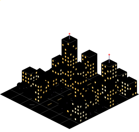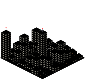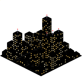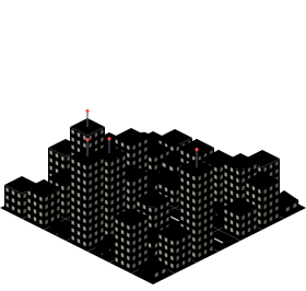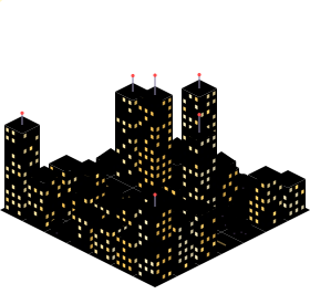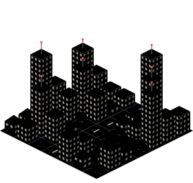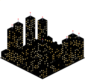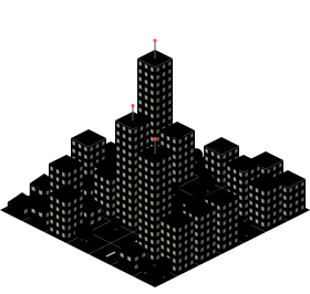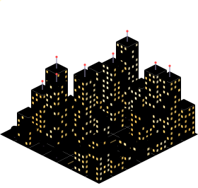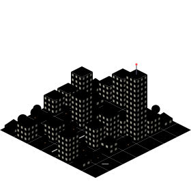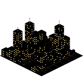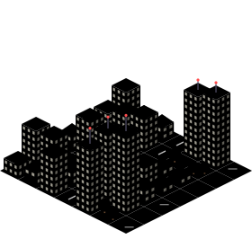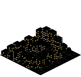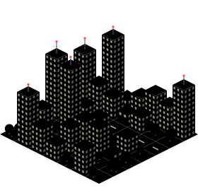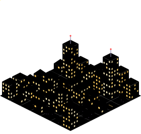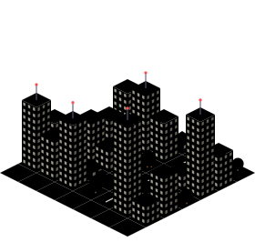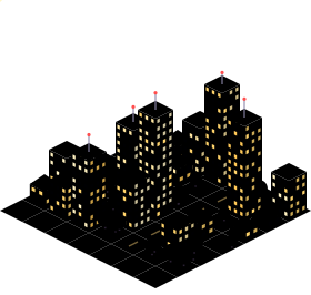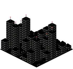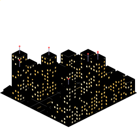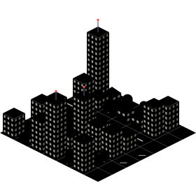
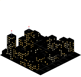
Hype Seoul (opens the map in a new tab)
AIhypeseoul.xyz
Maps where an image model generates pixel-art tiles from satellite or aerial imagery, usually stitched into one giant zoomable picture. This is the technique popularised by Isometric NYC.
Other techniques: Drawn from open data · 3D diorama · How each one works →
AIhypeseoul.xyz
AIisometricistanbul.com
AIisometric-malaga.pages.dev
AItinygyn.com
AItinyrj.com
AItinysthlm.com
AItiny.london
AIearthtopixels.com
AIjustinchavez.github.io
AIenrique-am.github.io
AIsf.isopolis.city
AIsheets.works
AIisometric.nyc
AIabidjan.opriel.com
AIblrmini.vercel.app
AIcaba.nicolaspoore.com
AIneuquen.melendez.com.ar
AIpixelberlin.com
AItinydetroit.com
AItinytashkent.uz
AItinyvancouver.com