Tiny Toronto (opens the map in a new tab)
AItinytoronto.ca
Canada’s largest city: the CN Tower, a dense downtown of glass condos and a long Lake Ontario waterfront.
Made by Ahmed Nadar · tinytoronto.ca · Nov 2026
A painted 3D map layered with City of Toronto open data and local shops. It follows the live weather, shifts from day to dusk to night, and hides 15 raccoons around Shops at Don Mills for a game of Find Roco.
There are 3 isometric maps of Toronto so far, all AI-drawn. The first one appeared in Oct 2026.Updated
AItinytoronto.ca
Toronto from the lake northwards as an illustrated, zoomable map, redrawn tile by tile by image models. The rest of the Greater Toronto Area is still to come.
AItoronto.rickyzhang.me
The whole City of Toronto, all 630 km², drawn from four angles: hit rotate and walk around the CN Tower, or your own street.
AIiso.sloptoronto.ca
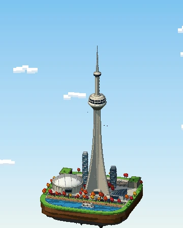
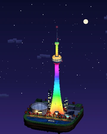
Our own pixel-art diorama of CN Tower: a 3D island you can turn, from day to night.
Yes — there are 3: Tiny Toronto (tinytoronto.ca) by Ahmed Nadar, Tiny Toronto (toronto.rickyzhang.me) (toronto.rickyzhang.me) by Ricky Zhang and Isometric Toronto (iso.sloptoronto.ca) by John Fewell. Each renders Toronto in the style of classic city-builder games like SimCity 2000.
Tiny Toronto was made by Ahmed Nadar, Tiny Toronto (toronto.rickyzhang.me) was made by Ricky Zhang and Isometric Toronto was made by John Fewell.
All 3 maps are AI-drawn: an image model turns aerial or satellite imagery into pixel-art tiles, which are stitched together into one giant zoomable picture.
Yes. All of them are public websites you can open in any browser for free — no account or download needed. Isometric Cities links to the originals; the maps belong to their creators.
Yes: Vancouver also has one. See all isometric maps of Canada.
Pick a technique — AI-drawn tiles from aerial imagery, rendering OpenStreetMap building data, or a 3D diorama — then publish it as a zoomable tile map. Our guide walks through all three, and you can submit your map to be listed here.