Isometric Seattle (opens the map in a new tab)
AIisometricseattle.fun
A hilly port city between Puget Sound and Lake Washington, with the Space Needle and Mount Rainier on the skyline.
Made by Dylan · isometricseattle.fun · Nov 2026
Seattle as one enormous drag-and-zoom illustration, from Golden Gardens and Green Lake to Harbor Island, Beacon Hill and Alki. Inspired by Tiny Rio, tiny.london and Isometric Vancouver.
Isometric Seattle is currently the only isometric map of Seattle, made by Dylan, AI-drawn. The first one appeared in Nov 2026.Updated
AIisometricseattle.fun
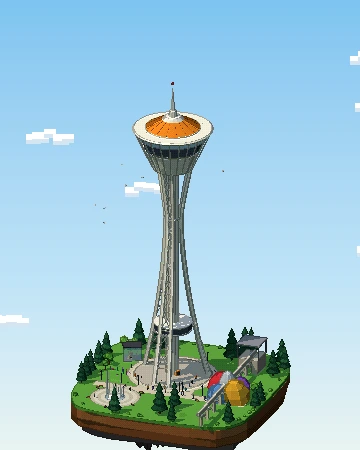
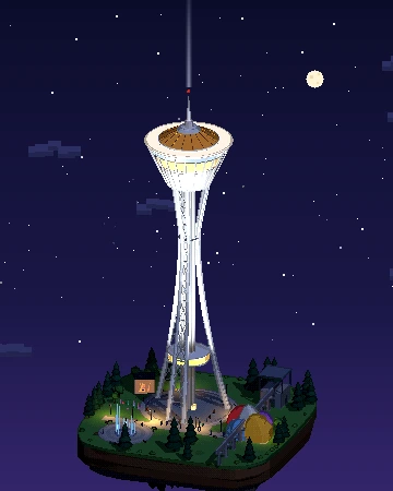
Our own pixel-art diorama of Space Needle: a 3D island you can turn, from day to night.
Yes. Isometric Seattle (isometricseattle.fun) is an isometric pixel-art map of Seattle, United States, by Dylan, launched in Nov 2026. It renders the city in the style of classic city-builder games like SimCity 2000.
Isometric Seattle was made by Dylan.
Isometric Seattle is AI-drawn: an image model turns aerial or satellite imagery into pixel-art tiles, which are stitched together into one giant zoomable picture.
Yes. Isometric Seattle is a public website you can open in any browser for free — no account or download needed. Isometric Cities links to the original; the map belongs to its creator.
Yes: New York, San Francisco, Los Angeles, Detroit, Cincinnati, Albuquerque and Atlanta also have one. See all isometric maps of United States.
Pick a technique — AI-drawn tiles from aerial imagery, rendering OpenStreetMap building data, or a 3D diorama — then publish it as a zoomable tile map. Our guide walks through all three, and you can submit your map to be listed here.