isotokyo (opens the map in a new tab)
AIisotokyo.xwx.cat
The world’s largest metropolis: 23 wards of dense neighbourhoods, rail lines and towers, from Shinjuku and Shibuya to the Imperial Palace and Tokyo Bay.
Made by Srevin Saju · isotokyo.xwx.cat · Nov 2026
An isometric map of Tokyo’s 23 wards.
isotokyo is currently the only isometric map of Tokyo, made by Srevin Saju, AI-drawn. The first one appeared in Nov 2026.Updated
AIisotokyo.xwx.cat
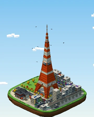
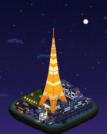
Our own pixel-art diorama of Tokyo Tower: a 3D island you can turn, from day to night.
Yes. isotokyo (isotokyo.xwx.cat) is an isometric pixel-art map of Tokyo, Japan, by Srevin Saju, launched in Nov 2026. It renders the city in the style of classic city-builder games like SimCity 2000.
isotokyo was made by Srevin Saju.
isotokyo is AI-drawn: an image model turns aerial or satellite imagery into pixel-art tiles, which are stitched together into one giant zoomable picture.
Yes. isotokyo is a public website you can open in any browser for free — no account or download needed. Isometric Cities links to the original; the map belongs to its creator.
Not yet — Tokyo is currently the only city in Japan with an isometric map. The nearest other cities with one are Seoul, Beijing and Singapore.
Pick a technique — AI-drawn tiles from aerial imagery, rendering OpenStreetMap building data, or a 3D diorama — then publish it as a zoomable tile map. Our guide walks through all three, and you can submit your map to be listed here.