Kraków w pikselach (opens the map in a new tab)
3Dcracowpixelmap.com
Poland’s royal city: Wawel Castle above the Vistula and the vast medieval Main Square.
▶ Open Kraków w pikselachAll 2 maps
Made by Michał Pietralik · cracowpixelmap.com · Oct 2026
Hand-styled pixel art on a three.js model from OpenStreetMap and GUGiK data, across 16 historical eras from 965 to today, with live trams.
There are 2 isometric maps of Kraków so far, using 3D diorama and drawn from open data techniques. The first one appeared in Oct 2026.Updated
3Dcracowpixelmap.com
Kraków’s Old Town, Wawel Hill and the Vistula in interactive 3D, built in three.js from CityGML LoD2 buildings, OpenStreetMap and aerial photos, with landmarks, trees, water and a hot-air balloon.
Open datasergiocarcamo.com
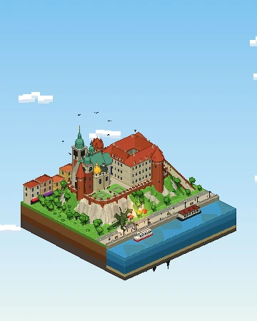
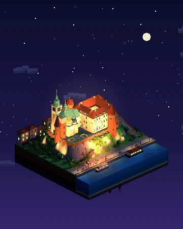
Our own pixel-art diorama of Wawel Castle: a 3D island you can turn, from day to night.
Yes — there are 2: Kraków w pikselach (cracowpixelmap.com) by Michał Pietralik and Isometric Kraków (sergiocarcamo.com) by Sergio Cárcamo. Each renders Kraków in the style of classic city-builder games like SimCity 2000.
Kraków w pikselach was made by Michał Pietralik and Isometric Kraków was made by Sergio Cárcamo.
Kraków w pikselach is a 3D diorama: a real-time 3D scene of the city is viewed through an isometric-style camera, like a tiny model you can explore. Isometric Kraków is drawn from open data: the city is rendered with code from datasets such as OpenStreetMap building footprints and heights, rather than by an image model.
Yes. All of them are public websites you can open in any browser for free — no account or download needed. Isometric Cities links to the originals; the maps belong to their creators.
Yes: Warsaw, Łódź and Bielsko-Biała also have one. See all isometric maps of Poland.
Pick a technique — AI-drawn tiles from aerial imagery, rendering OpenStreetMap building data, or a 3D diorama — then publish it as a zoomable tile map. Our guide walks through all three, and you can submit your map to be listed here.