About Ha Long Bay
Ha Long Bay is a drowned limestone landscape in the Gulf of Tonkin, in Quảng Ninh province in the far northeast of Vietnam. Across roughly 1,553 square kilometres, close to two thousand islands and islets rise straight out of calm green water. Most are steep towers and pillars 50 to 100 metres high, their tops covered in forest and their grey walls almost too sheer for anything but creepers to hold on to.
The rock formed on an ancient sea floor, and over millions of years rain and a warm, wet climate dissolved it into the cones and towers of a karst landscape. When the sea rose, it flooded the valleys between them. The waves keep working at the foot of each island, cutting the notch you see along the waterline, and inside many of them are caves: Sửng Sốt, Thiên Cung and Đầu Gỗ are the best known, and boats and kayaks slip into others at low tide.
The name means “descending dragon”. In the legend, the gods sent a family of dragons to help the Vietnamese defend their coast; the dragons spat out jewels that turned into islands and formed a wall against invading ships. Some islands have names of their own: the two rocks of Hòn Trống Mái lean towards each other like a cock and hen, and Hòn Đỉnh Hương is shaped like an incense burner.
UNESCO listed Ha Long Bay as a World Heritage Site in 1994, and in 2023 extended the site to include the Cat Ba Archipelago next door. Wooden junks with brown and orange sails carry visitors between the islands, and fishing families have lived for generations in floating villages of raft houses, although many of them have since been resettled on land.
The diorama
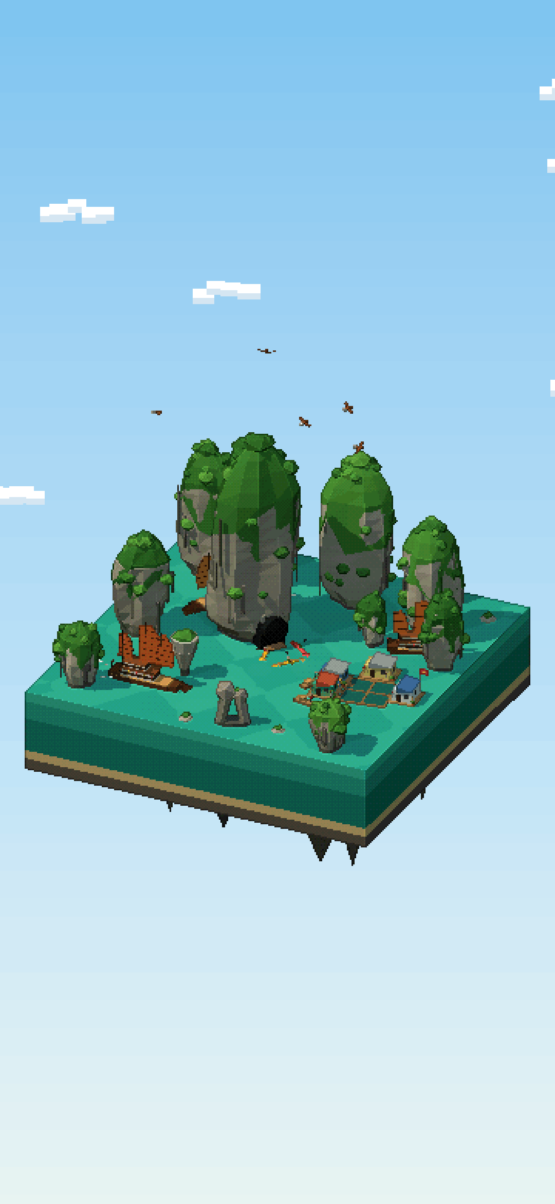
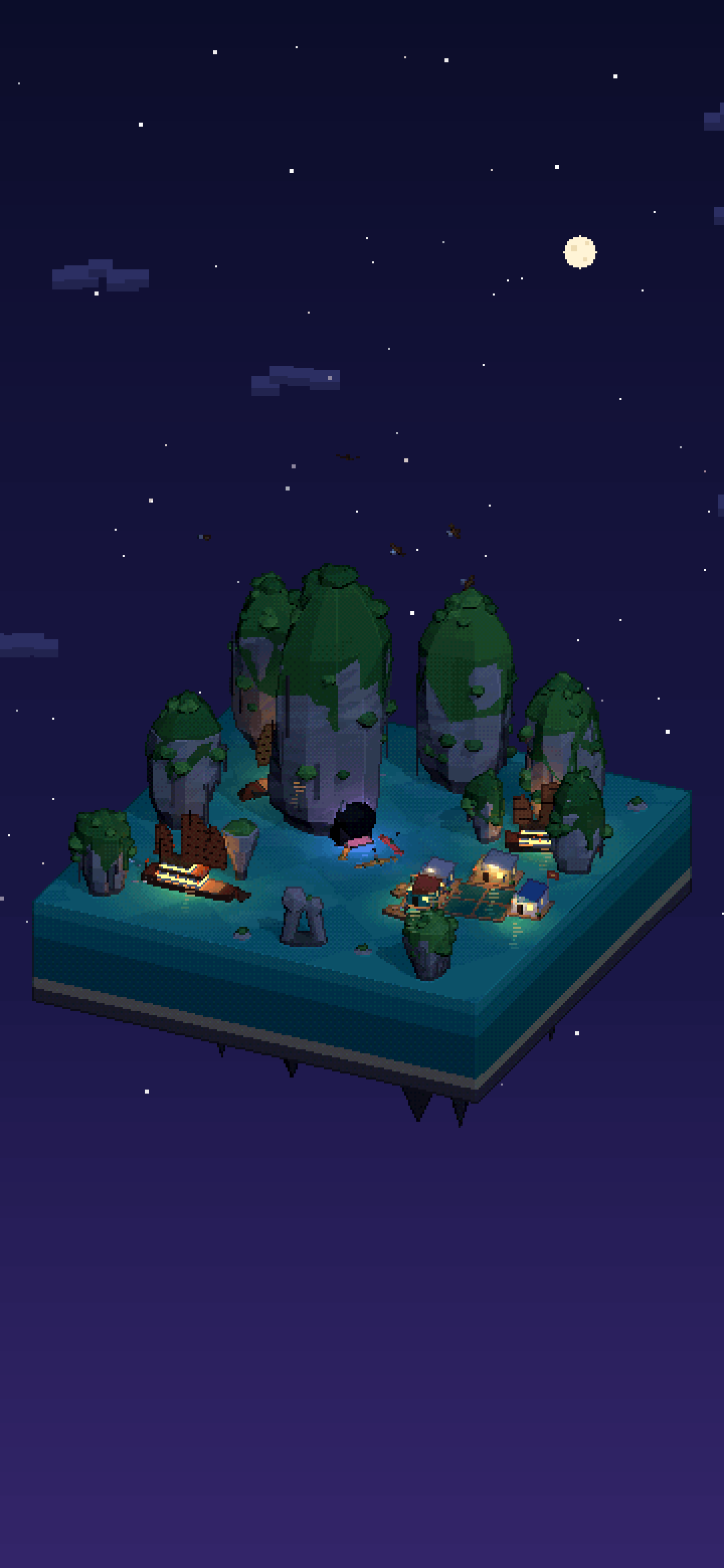
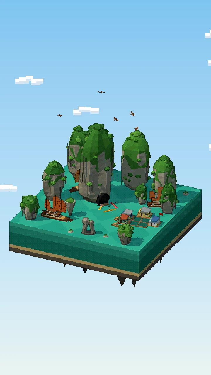
The diorama is a cut-out block of emerald sea, built in Three.js and rendered as pixel art: the scene is drawn at a low resolution, every edge gets a dark outline, the colours are reduced to a small palette, and the result is scaled up without smoothing. Ten limestone towers stand in the water, each one with fluted grey walls, rain streaks, a wave-cut notch at the waterline and a jungle cap whose ragged edge spills down the cliffs. The tallest has a sea cave at its foot, and the Fighting Cocks and the Incense Burner stand out in the open water.
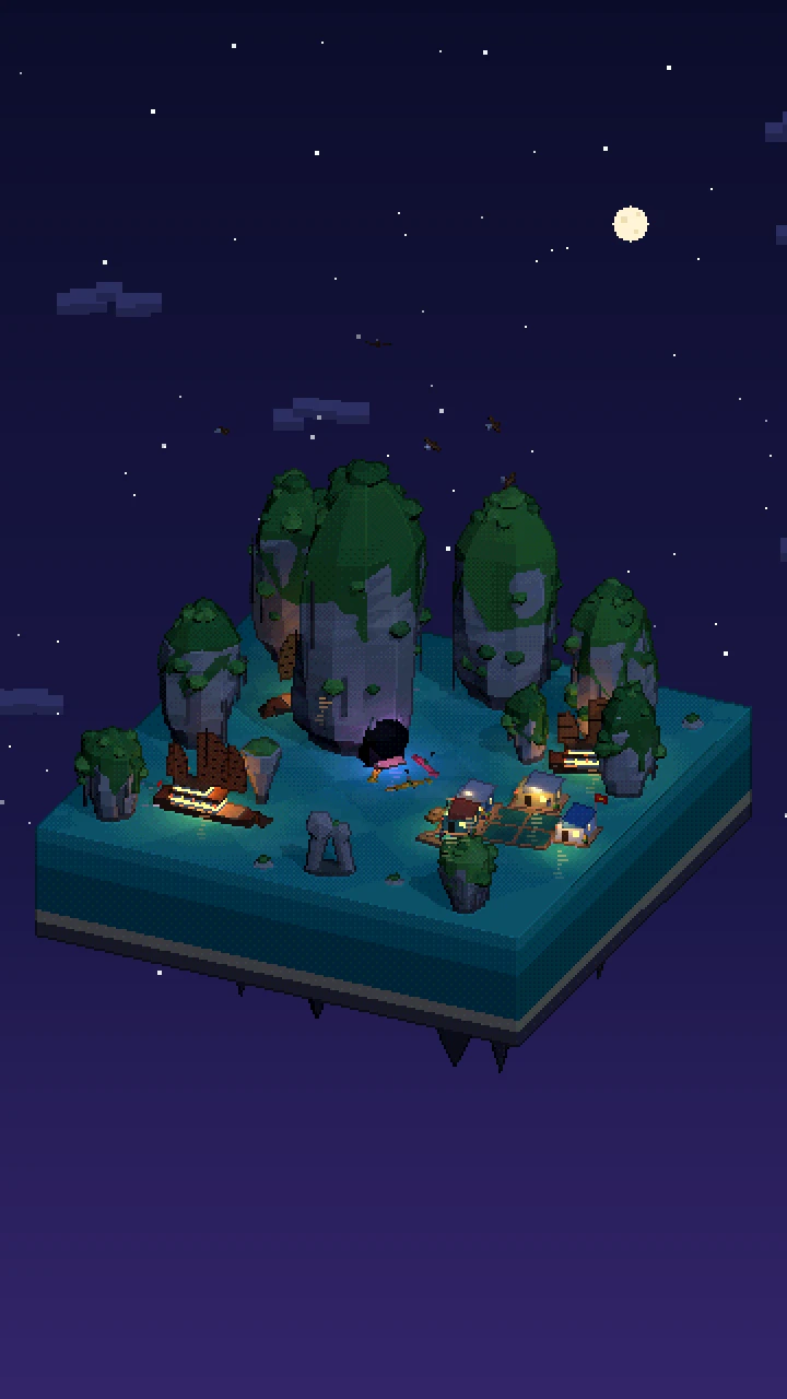
One junk circles the big tower, another crosses the front channel and a third lies at anchor, all with battened orange sails. Next to them is a floating fishing village of raft houses, plank walkways and fish pens. A woman in a conical hat rows a sampan, kayaks paddle in front of the cave and brahminy kites circle overhead. At golden hour low mist drifts between the islands. At night the junks hang out red and gold lanterns that shimmer on the water, the raft houses light up and the cave glows violet and blue.
Things to spot
- The cave mouth at the foot of the tallest tower
- The Fighting Cocks, two rocks leaning head to head
- Three kayaks paddling in front of the cave
- A woman in a conical hat rowing a sampan
- A Vietnamese flag over the floating village
- Brahminy kites circling the karst tops
What we simplified
- The towers are generic Ha Long karsts placed close together, not a map of a real group of islands.
- The boats, houses and the two famous rocks are shown about twice their real size next to the towers, so they read at pixel scale; the real Fighting Cocks and Incense Burner are some distance apart.
Questions
How many islands are there in Ha Long Bay?
Ha Long Bay has close to two thousand islands and islets over about 1,553 square kilometres. Counts vary with how small an islet is included: Wikipedia gives 1,969, and the UNESCO World Heritage Site, which since 2023 also takes in the Cat Ba Archipelago, counts 1,133 islands and islets in its core area.
What does Ha Long mean?
Hạ Long means “descending dragon”. Legend says the gods sent a family of dragons to defend the Vietnamese coast, and the jewels they spat out became the islands of the bay, forming a wall against invaders.
How were the islands of Ha Long Bay formed?
They are limestone karst: over millions of years rain dissolved the rock into towers and cones, then the sea flooded the land between them. Waves still cut a notch at the foot of each island, and many hide caves such as Sửng Sốt and Thiên Cung.
What are the Fighting Cocks in Ha Long Bay?
Hòn Trống Mái, the Fighting Cocks or Kissing Rocks, are two rocks about 10 metres high that lean towards each other like a cock and a hen. They are one of the most photographed sights in the bay.
How was this pixel-art diorama of Ha Long Bay made?
It is a real-time Three.js scene running on this page, drawn at 360 × 640 pixels with dark outlines and a small palette, then scaled up without smoothing. Each limestone tower has a wave-cut notch, fluted walls and a jungle cap, and junks, kayaks and a sampan move between them. Press “Explore in 3D” to drag it round and switch between day, dusk and night.