About Machu Picchu
Machu Picchu sits on a ridge high above the Urubamba river in the Andes of southern Peru, between the mountain that gives it its name and the steep peak of Huayna Picchu. It was built in the middle of the 15th century, most likely as a royal estate for the Inca emperor Pachacuti, and was lived in for less than a century. It was abandoned around the time of the Spanish conquest, and there is no record that the Spanish ever found it.
The site is split into an agricultural sector of stepped terraces and an urban sector of houses, temples, plazas and stairways, around a long grassy Main Plaza. The Inca builders cut the local granite so precisely that in the finest buildings the blocks fit together without mortar. Doors, windows and niches are trapezoidal, narrower at the top, which helped the walls survive earthquakes. Among the best-known buildings are the Temple of the Sun with its curved wall, the Temple of the Three Windows and the Intihuatana stone.
The terraces were more than farmland. Layers of stone, gravel and soil behind the walls drained the heavy rain and kept the mountain from sliding away. Local farmers had always known the ruins were there, but they became famous worldwide after the American explorer Hiram Bingham was guided to them in 1911 and published photographs.
Today most visitors come by train to Aguas Calientes in the valley, then take a bus up the hairpins of the Hiram Bingham road to the gate. Others arrive on foot along the Inca Trail. Numbers are limited by timed tickets, and the climb up Huayna Picchu needs a permit of its own.
The diorama
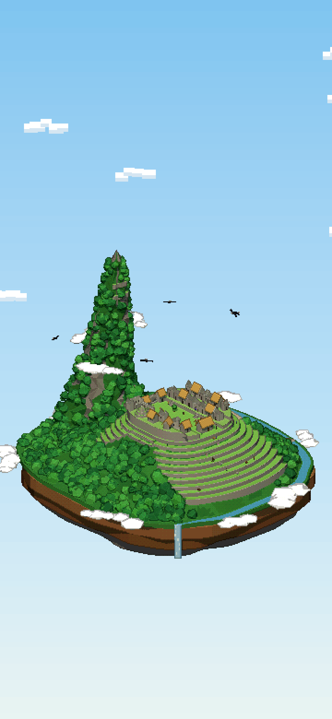
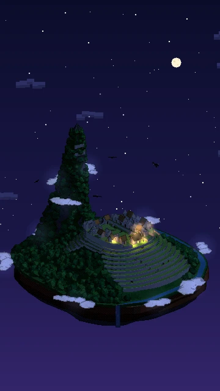
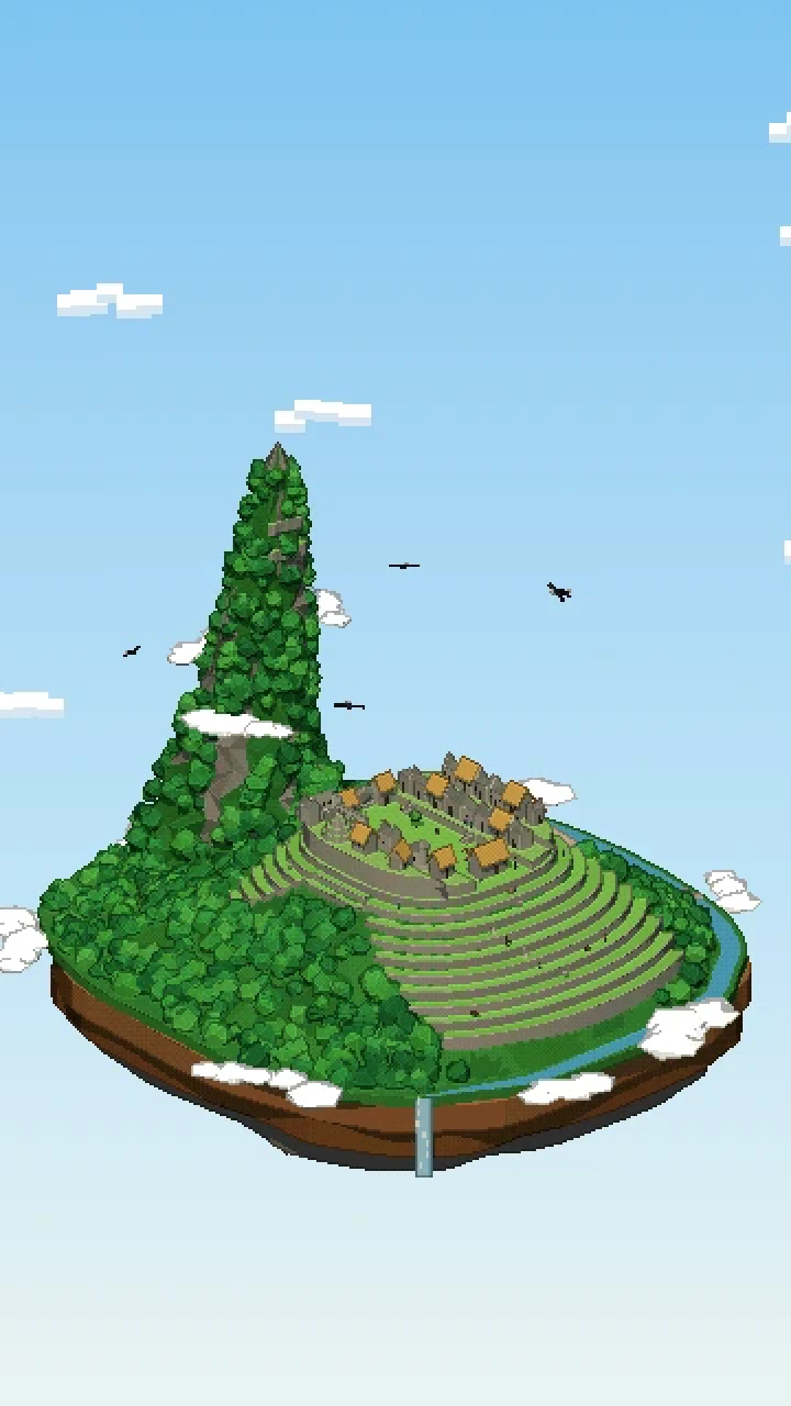
The diorama shrinks the mountain to a floating island, built in Three.js and drawn as pixel art. The citadel spreads over a saddle with the green Main Plaza in the middle, rows of roofless grey granite houses on one side and the temples on the other: the Temple of the Sun on its rock, the Temple of the Three Windows, the Principal Temple and the Intihuatana on its hill. The Sacred Rock stands at the far end of the plaza between two thatched halls, and the Watchman’s hut keeps an eye on the terraces from the highest corner. A few houses carry thatched roofs to show how they once looked.
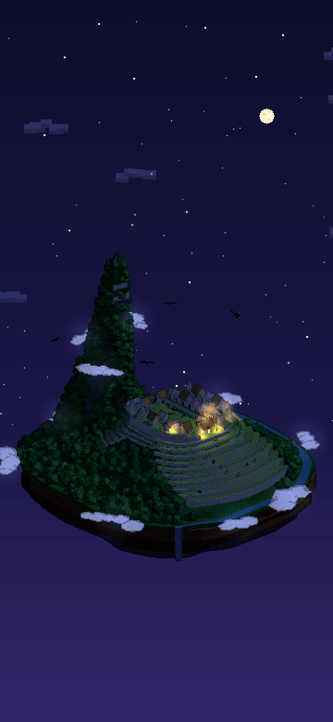
Fans of curved stone terraces step down the slopes, Huayna Picchu rises as a steep sugarloaf behind the ruins with a few terraces near its top, and the Urubamba loops round the foot of the mountain before spilling off the island as a waterfall. Two buses grind up and down the hairpins of the road to the lodge at the top, llamas wander the terraces, hikers explore the ruins and condors circle overhead while mist drifts below the ridge. At night the stone turns moonlit, a few lanterns glow and the mist picks up a faint light.
Things to spot
- Llamas grazing on the Main Plaza and walking along the terraces
- Two buses on the hairpins of the Hiram Bingham road
- Condors with white neck ruffs circling above
- The waterfall where the river leaves the island
- The thatched Watchman’s hut above the terraces
- Mist wrapping round Huayna Picchu
What we simplified
- Everything is toy-scaled and compressed: the citadel has a few dozen buildings instead of about two hundred, and Huayna Picchu and the houses are exaggerated so they read.
- The road, the river and the bridge are rearranged to fit the island, and the terraces are idealised into regular curved bands.
Questions
When was Machu Picchu built?
Machu Picchu was built in the middle of the 15th century, most likely as a royal estate for the Inca emperor Pachacuti. It was lived in for less than a century.
How high is Machu Picchu?
Machu Picchu lies about 2,430 metres above sea level. Huayna Picchu, the steep peak behind the citadel, rises to 2,720 metres.
Who discovered Machu Picchu?
Local farmers had always known the ruins were there, but Machu Picchu became famous worldwide after the American explorer Hiram Bingham was guided to it in 1911 and published photographs.
How do you get to Machu Picchu?
Most visitors take the train to Aguas Calientes, then a bus up the hairpins of the Hiram Bingham road; others arrive on foot along the Inca Trail. Numbers are limited by timed tickets, and climbing Huayna Picchu needs a permit of its own.
How was this pixel-art diorama of Machu Picchu made?
It is a real-time Three.js scene running on this page, drawn at 360 × 640 pixels with dark outlines and a small palette, then scaled up without smoothing. The mountain is shrunk to a floating island, with a few dozen buildings instead of about two hundred. Press “Explore in 3D” to drag it round and switch between day, dusk and night.